|
|
|
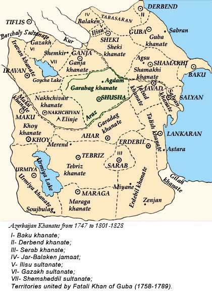 Map 1. Azerbaijan in the 18th century. Independent Khanates |
|

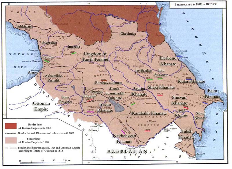
Map 3.
In the
territory of the these khanates and sultanates, a few governorates (губернiя
)were established - Elisavetpol (Ganja) and Erivan (Irevan) governorates in
the west, Shamakhy (Later in 1859, Baku Governate) governorate in the east,
Derbend Governate in the north, and partly Tiflis governorate.
At the end of the XlXth century, 80% of the
population in Elizavetpol (Ganja) Governate and Kuba Districts was involved
in wool processing. On the Absheron peninsula which was not a leading sheep
breeding region), there were 3.3 sheep per person.
The 19th century Russian writer S. I. Gulishambarov who worked and lived in Baku, mentions the existence of many
experienced spinners in Azerbaijan.
|
|